Gin, Tufas, Plug and Wine
July 31, 2015
Yosemite Day #3 was not the usual in any sense.
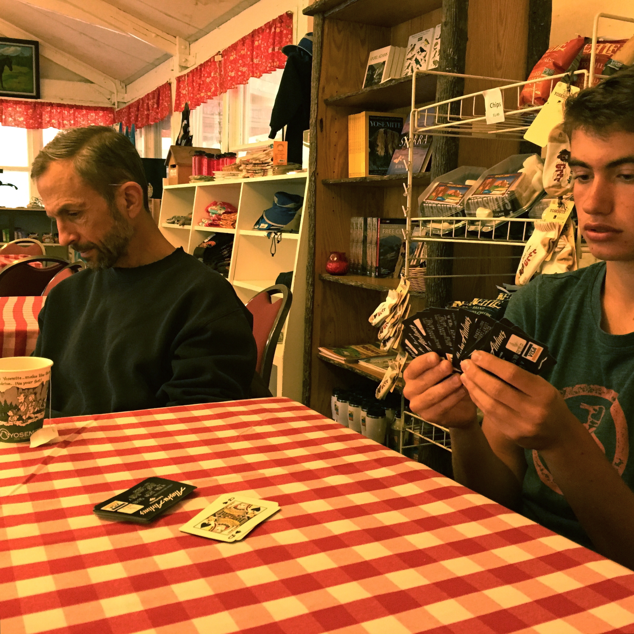
First off, we awoke to rain. That pretty much never happens. Afternoon thunderstorms, sure, but morning rain is unusual. We decided to hang in the lodge for awhile to see if it was going to clear. It did not. So Peter and I played more gin rummy.
(Wait, did I mention that in yesterday’s blog?! I taught Peter to play gin rummy last night and we are now off to the races! Grandma’s going to be besides herself… another card player in the family!)
After a set of three games, we decided to head out of the park and down to Mono Lake.
First up, the famed Tioga Pass Road. This was maybe the first time we’d driven it that Peter had an awareness for its exposure and feat of engineering. He was actually kind of nervous.
Will this bridge hold?
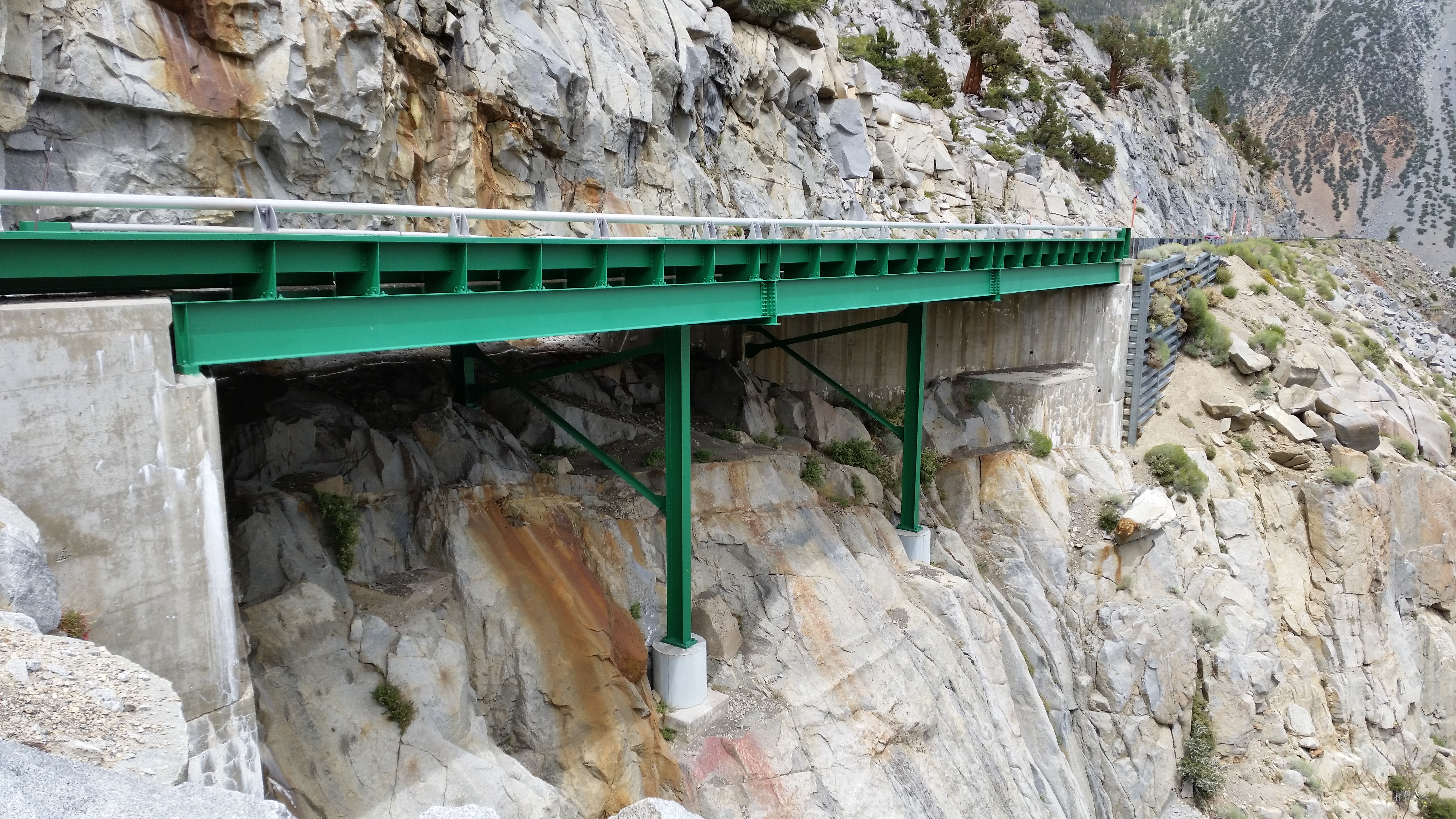
It held.
For a lot of the (about) eight miles, the road is carved right into a very steep cliff comprising nothing but gravel and what appear to be precariously perched boulders :
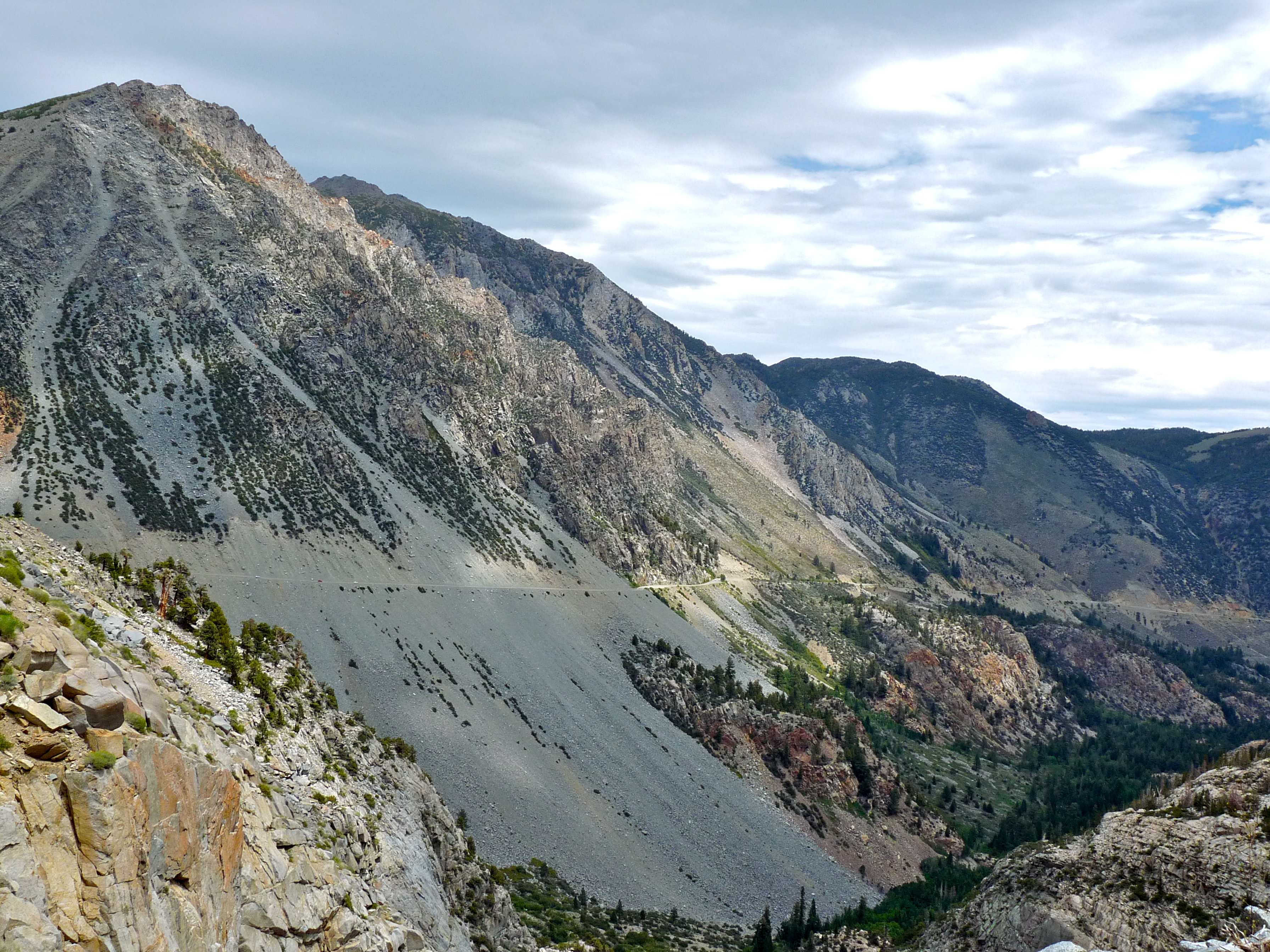
It looks a lot worse from a distance. Still, the parts that cling to the cliff make you wonder…
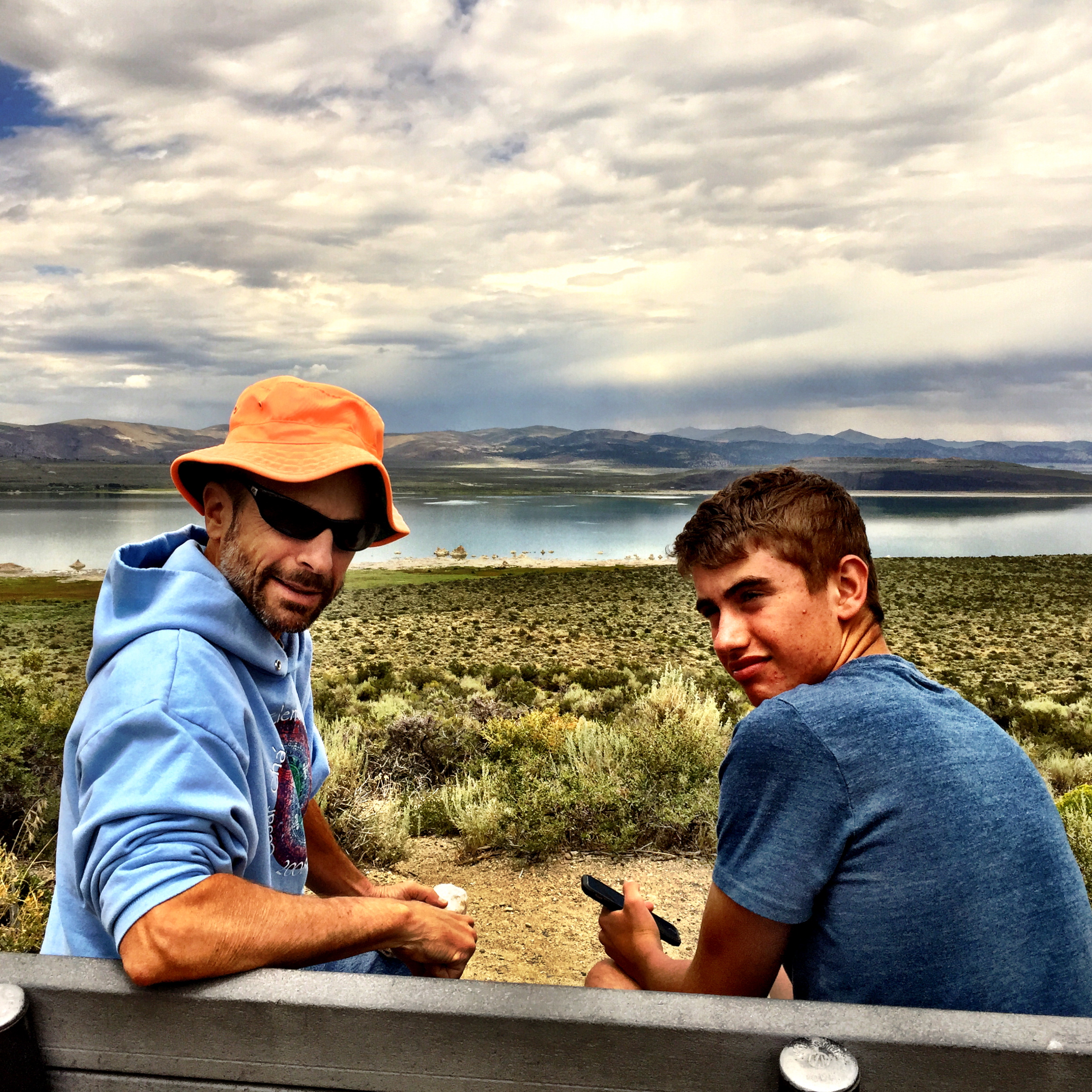
Got down, drove through Lee Vining, and parked at the Visitor’s Center. We had lunch on a bench overlooking Mono Lake. It’s cloudy over on the east side, too.
The exhibits at the Visitor’s Center were fascinating. Mono Lake, one of the oldest lakes in North America, and the basin in which it sits are unique for a number of reasons. 1. The basin is rife with volcanos (see photos/explanations below). 2. The lake has no outlet. Streams feed water into the lake, the water evaporates, and what’s left is water with a super high concentration of minerals. The water is very salty. 3. The volume of water in the lake is greatly reduced because at one point Los Angeles was allowed to divert water from streams that would have fed the lake and sustained healthy lake levels. Water policy and new regulations, starting in 1994, have begun to turn this around. 4. In the meantime, tufas–limestone towers–which generally grow underwater, are visible and line many of the now exposed shores (also see below).
A ranger pumped us full of rapidly fired facts and suggested a few places to visit.
Off we went.
This picture shows the level of the Great Basin when it was at its highest. The LV (Lee Vining) letters on the hill represent the high water mark. This is shot from Highway 395; the lake, currently, is well below that!

Then on to the so-called South Tufas. Here’s what the literature says about tufas:
The strange spires and knobs are formed when fresh water springs containing calcium bubble up through the carbonate-rich lake water. The combing of these waters forms calcium carbonate, a whitish limestone deposit that forms the basis of the tufa formations. Tufa is found in many alkaline lakes throughout the world.
Tufa towers grow exclusively underwater, and some grow to heights of over 30 feet. The reason visitors see so much tufa around Mono Lake today is because the lake level fell dramatically after water diversions began in 1941.
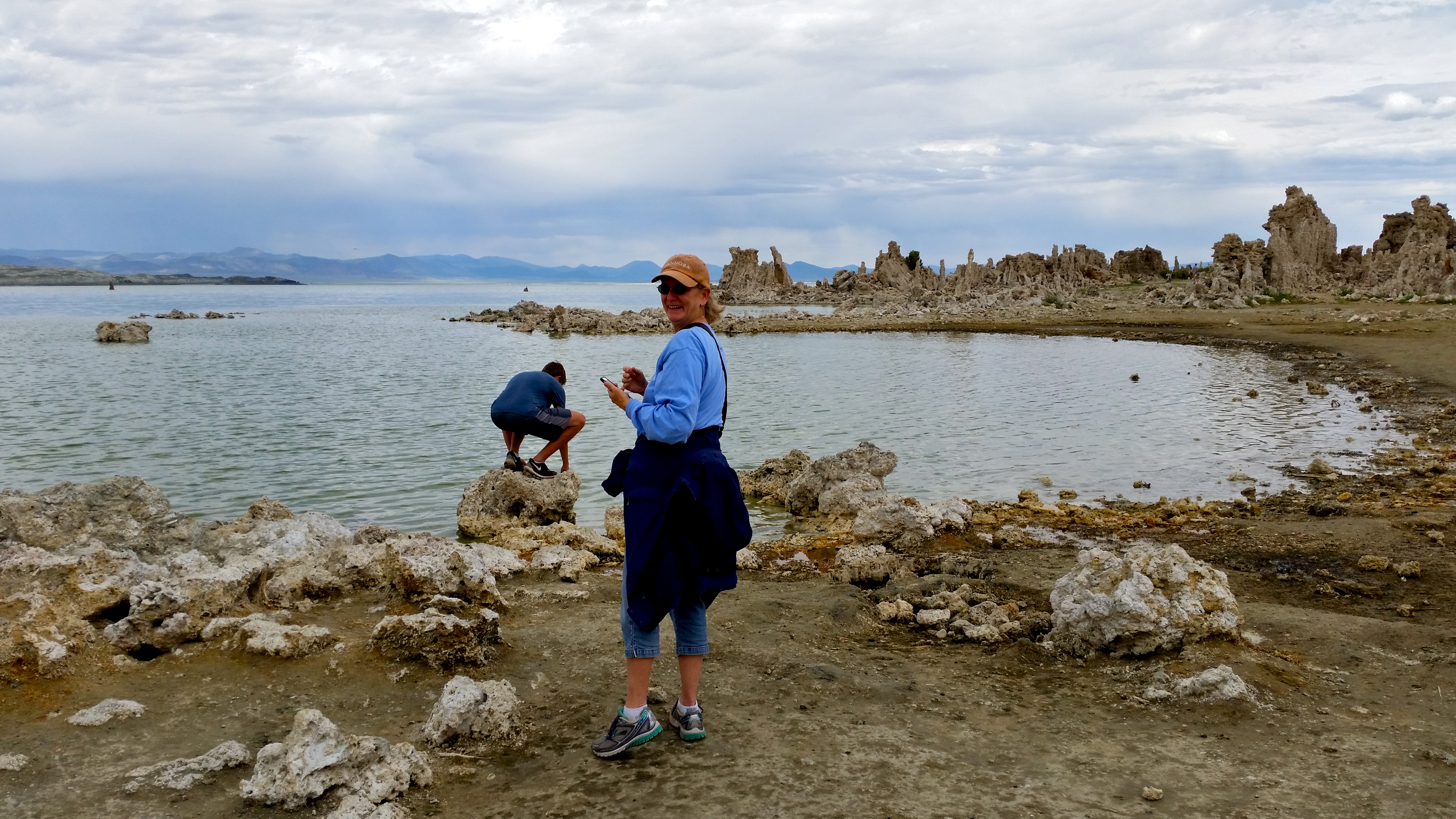
Here are a few pictures:
Peter’s tasting the salty water and checking out the lake’s critters: the lake supports no fish, but it does have gazillions of brine shrimp and alkali flies..
Here are closeups of the tufas…
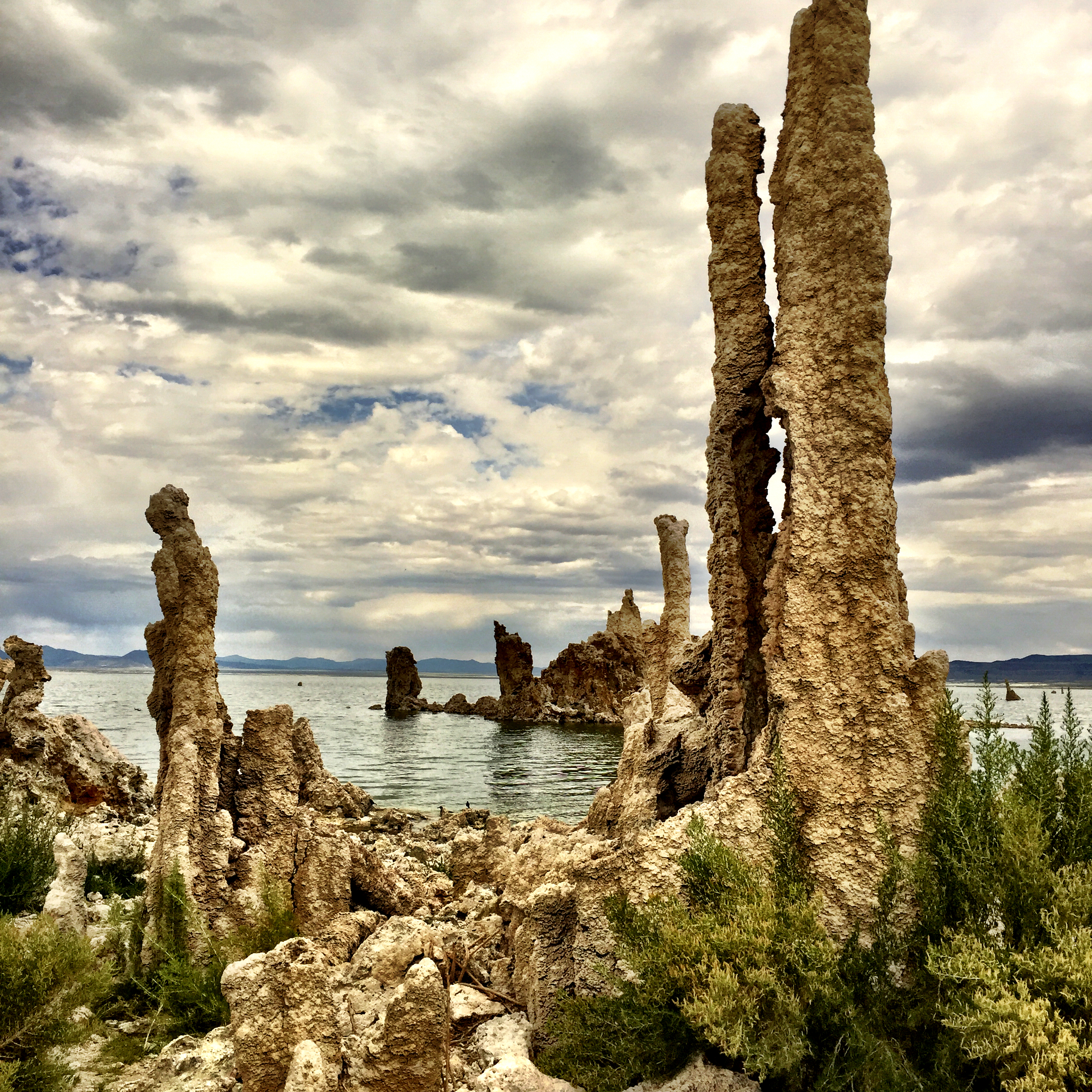
It was one of the weirder things I’ve ever seen, geologically speaking. Perhaps one day they’ll all be under water again.
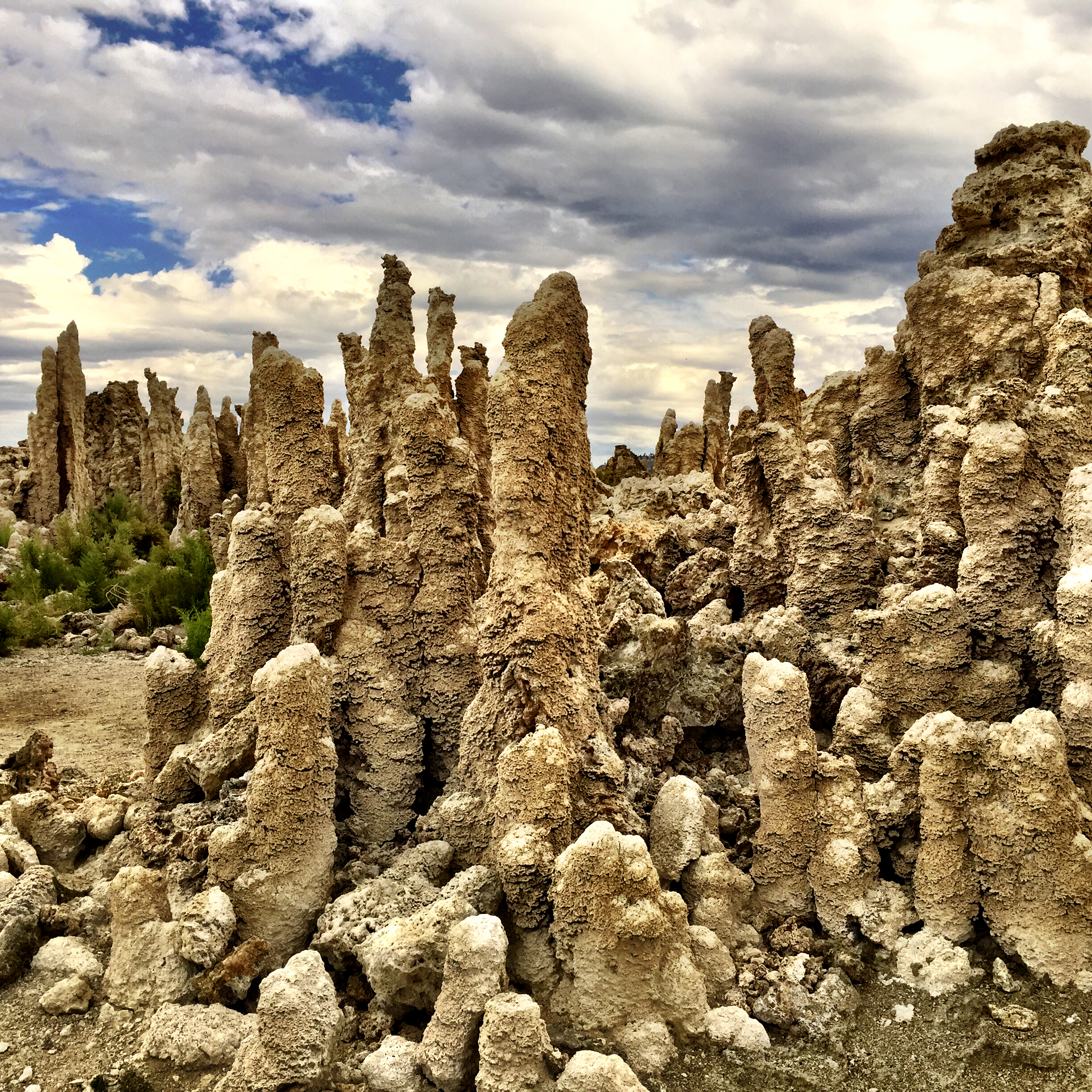
Down along the lake’s edge, one is surrounded by towers….

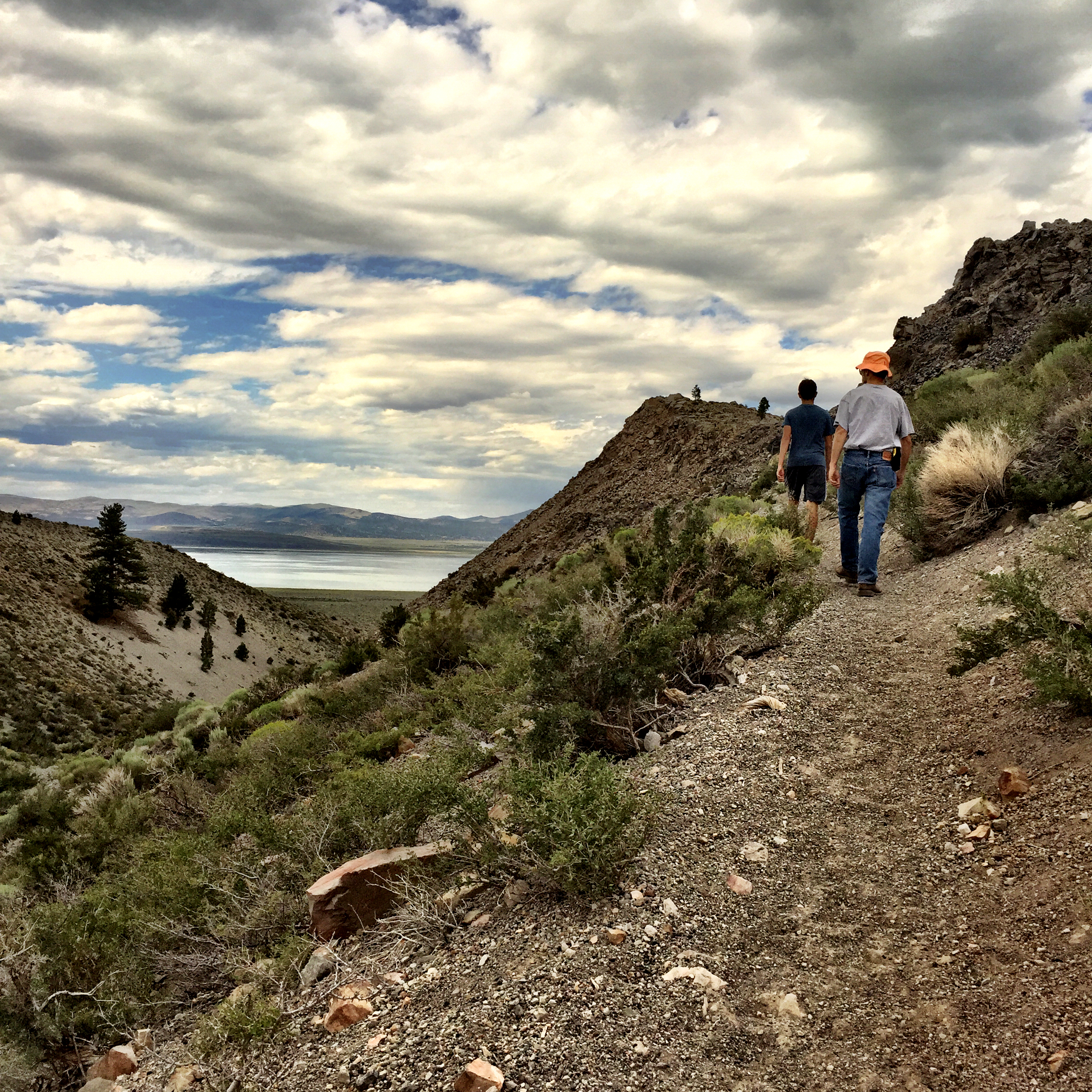
Then onto volcanos. There are lots, and the area has an impressive volcanic history. The Mono Craters–the youngest mountain range in North America, are just a bit south and east of 395. The Panum Crater, northern-most on this range, erupted only 640 years ago. We opted to go the plug route, into the center of the crater.

Walking up (and a view of Mono Lake in the background):
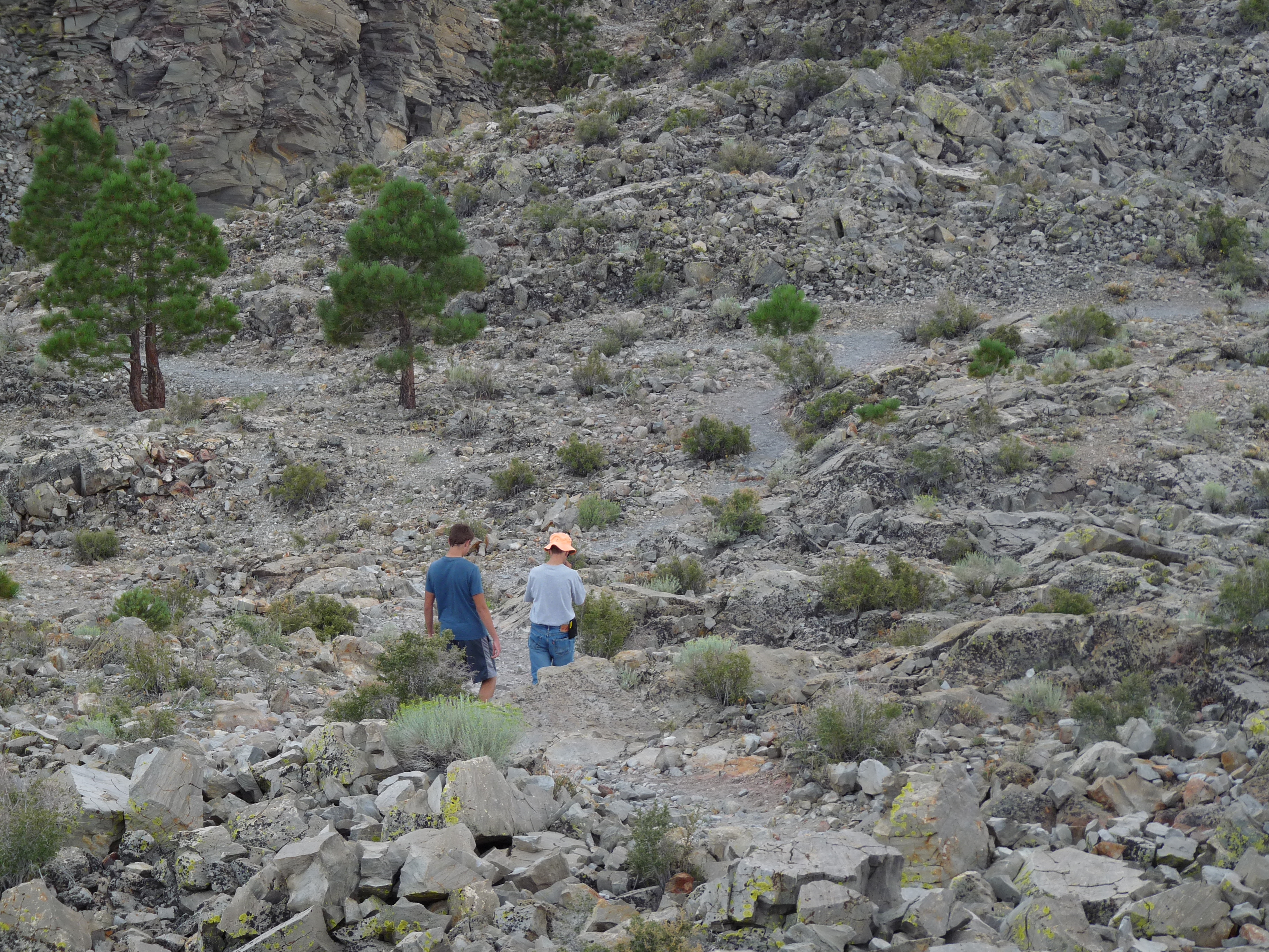
And walking in:
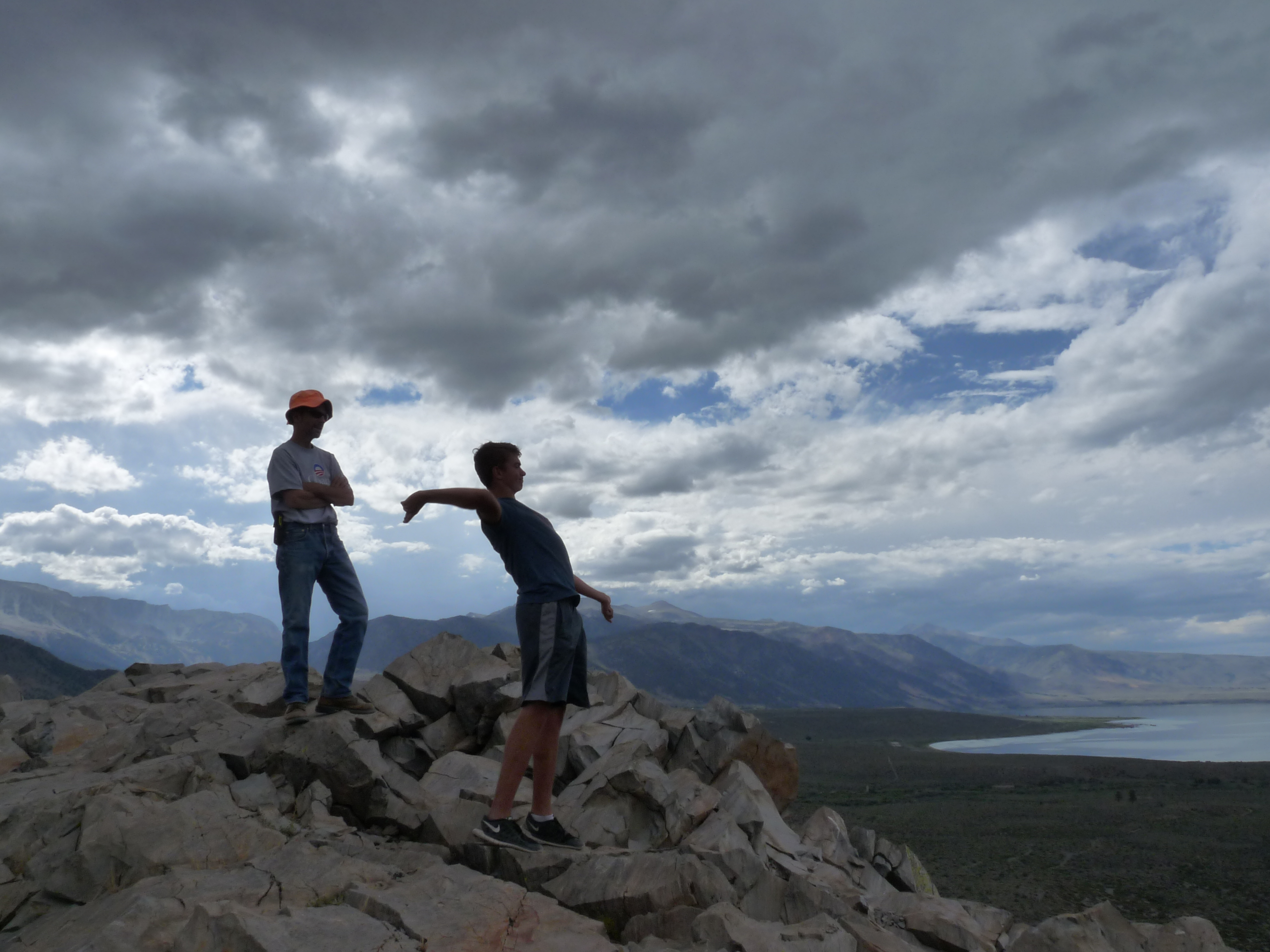
Here’s a spot up at the top; Jim’s looking toward Mono Lake:

Peter’s throwing rocks–pumice, obsidian, rhyolite… you know…
Another view, this one of the road in, from the other side on the way down:
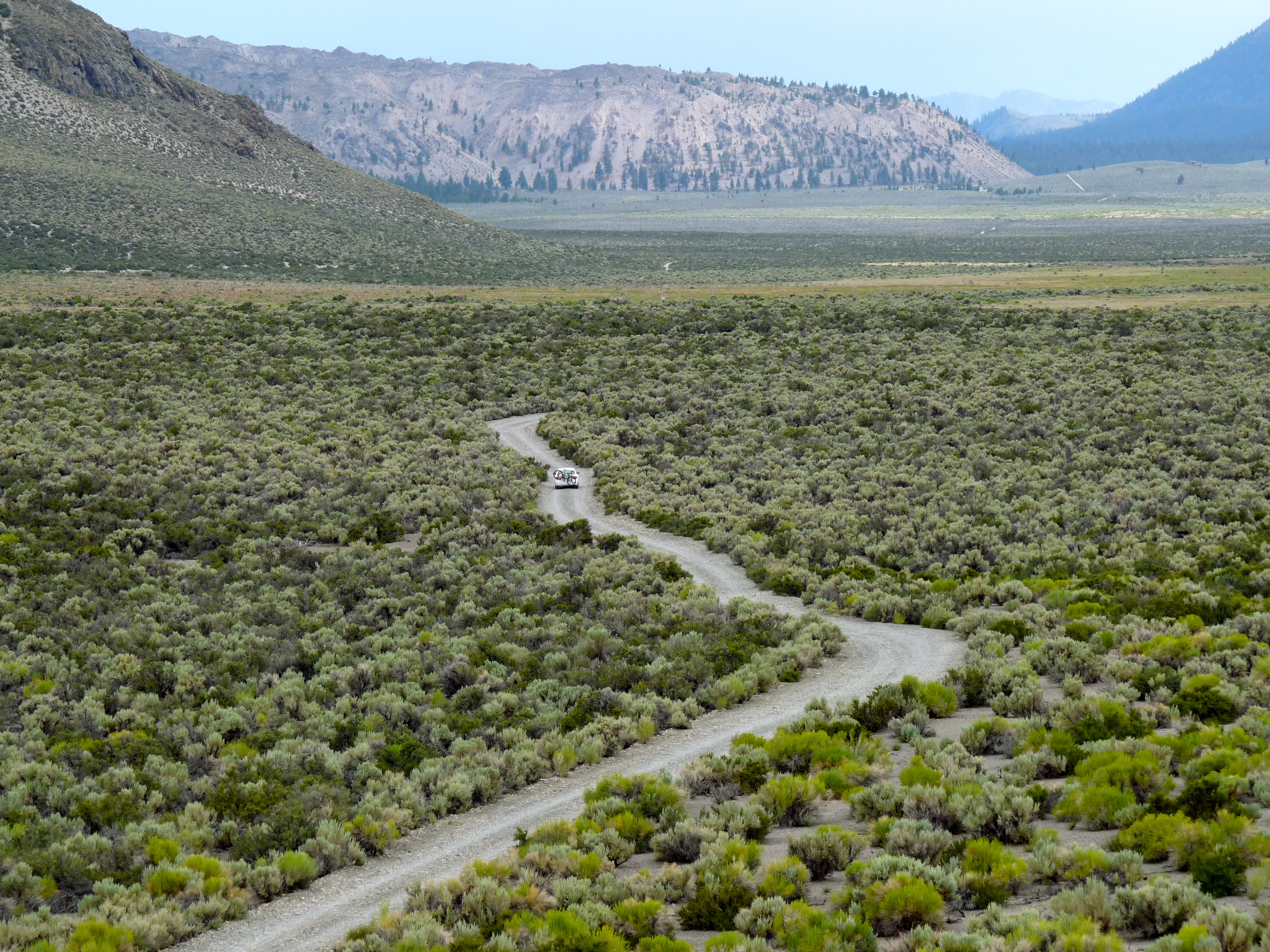
The mountains on the left are part of the Mono Craters range.
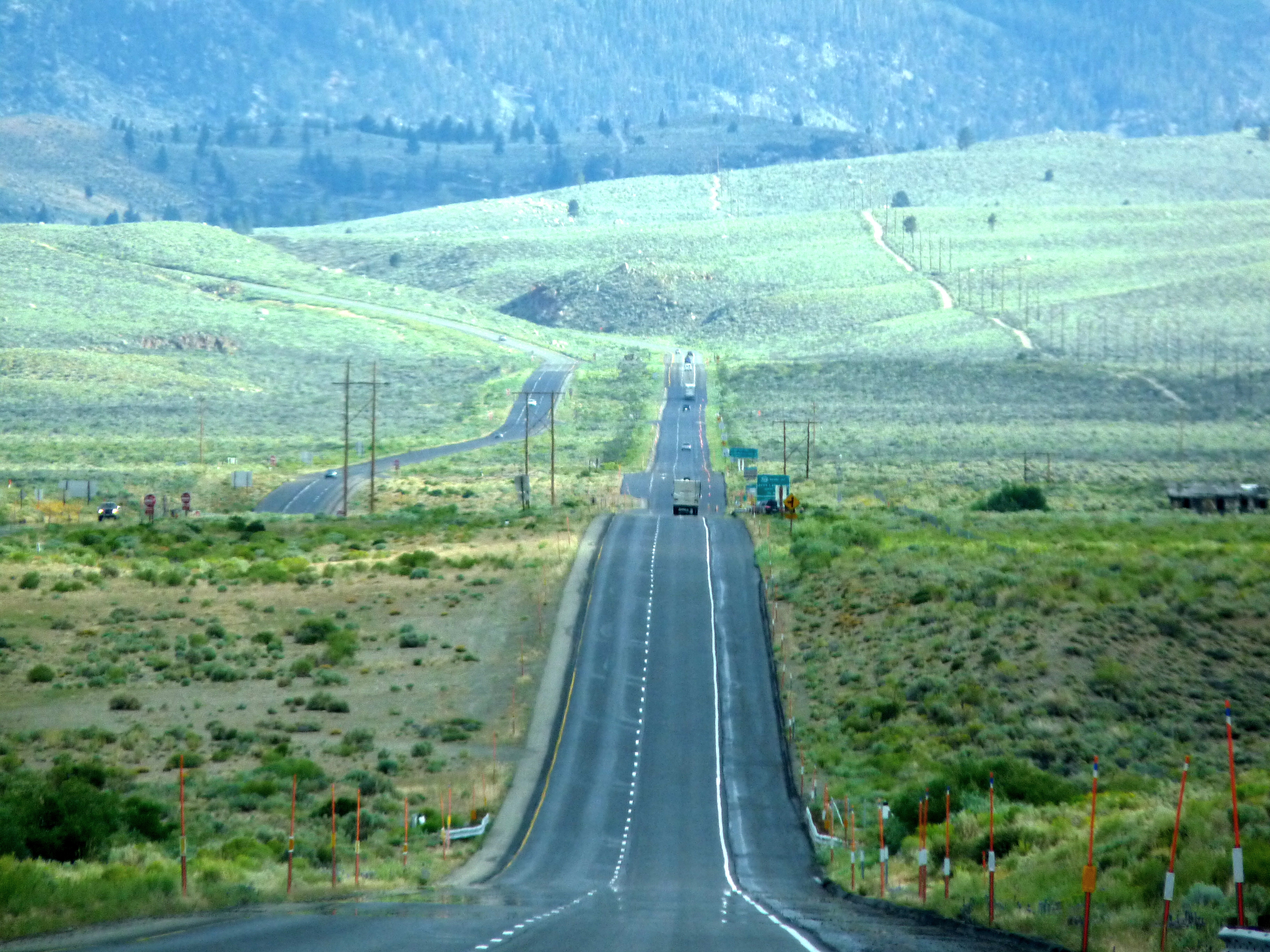
Then we headed south to find the remnants of another volcano, the Devil’s Punch Bowl. On the way… a nice road shot:
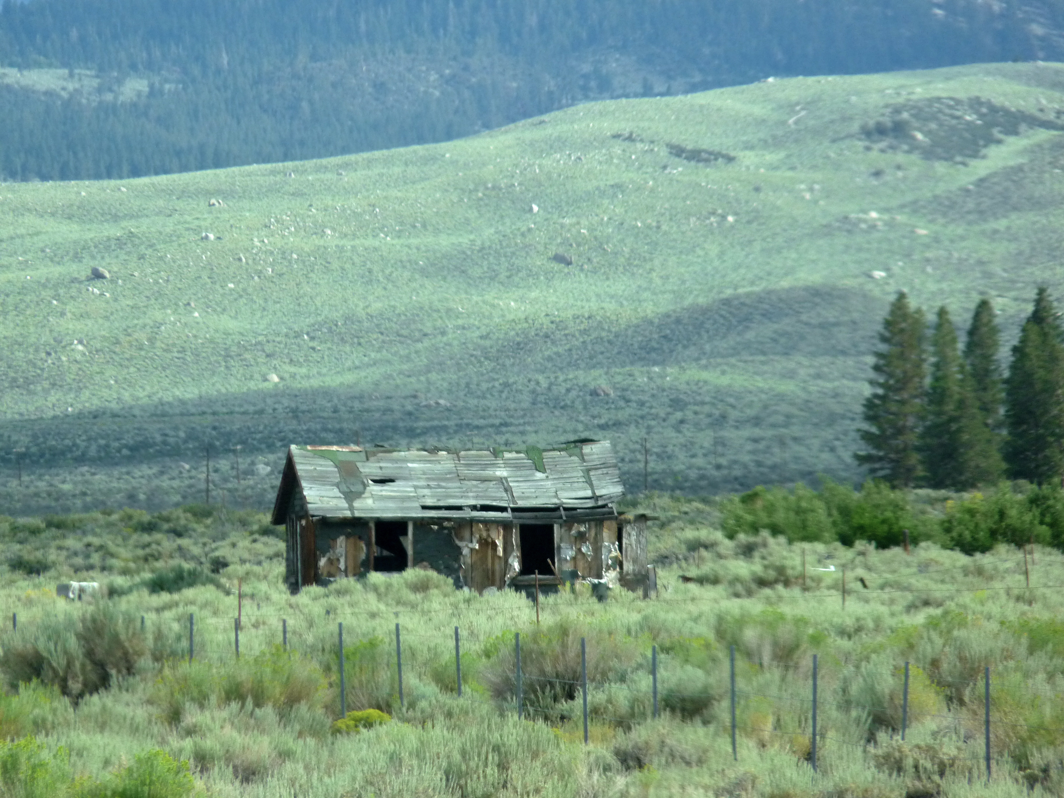
And cool barn:
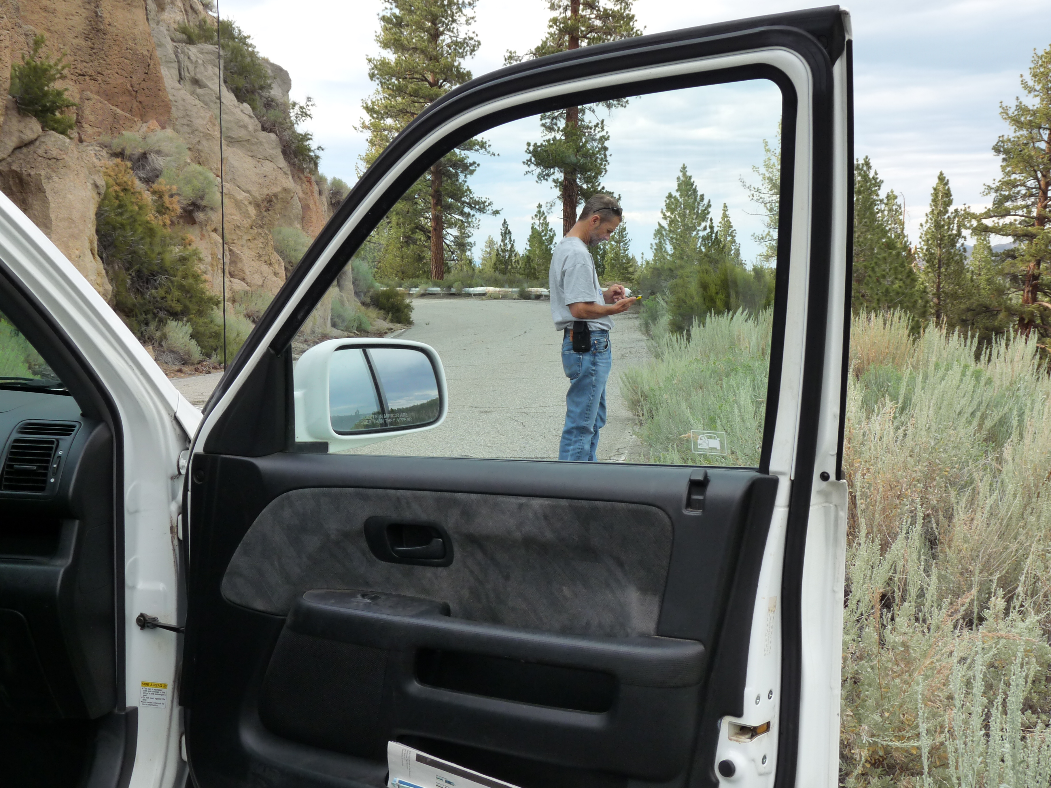
We tried to find the Devil’s Punch Bowl, but seemed lost. Here’s Jim trying to figure out where it is:
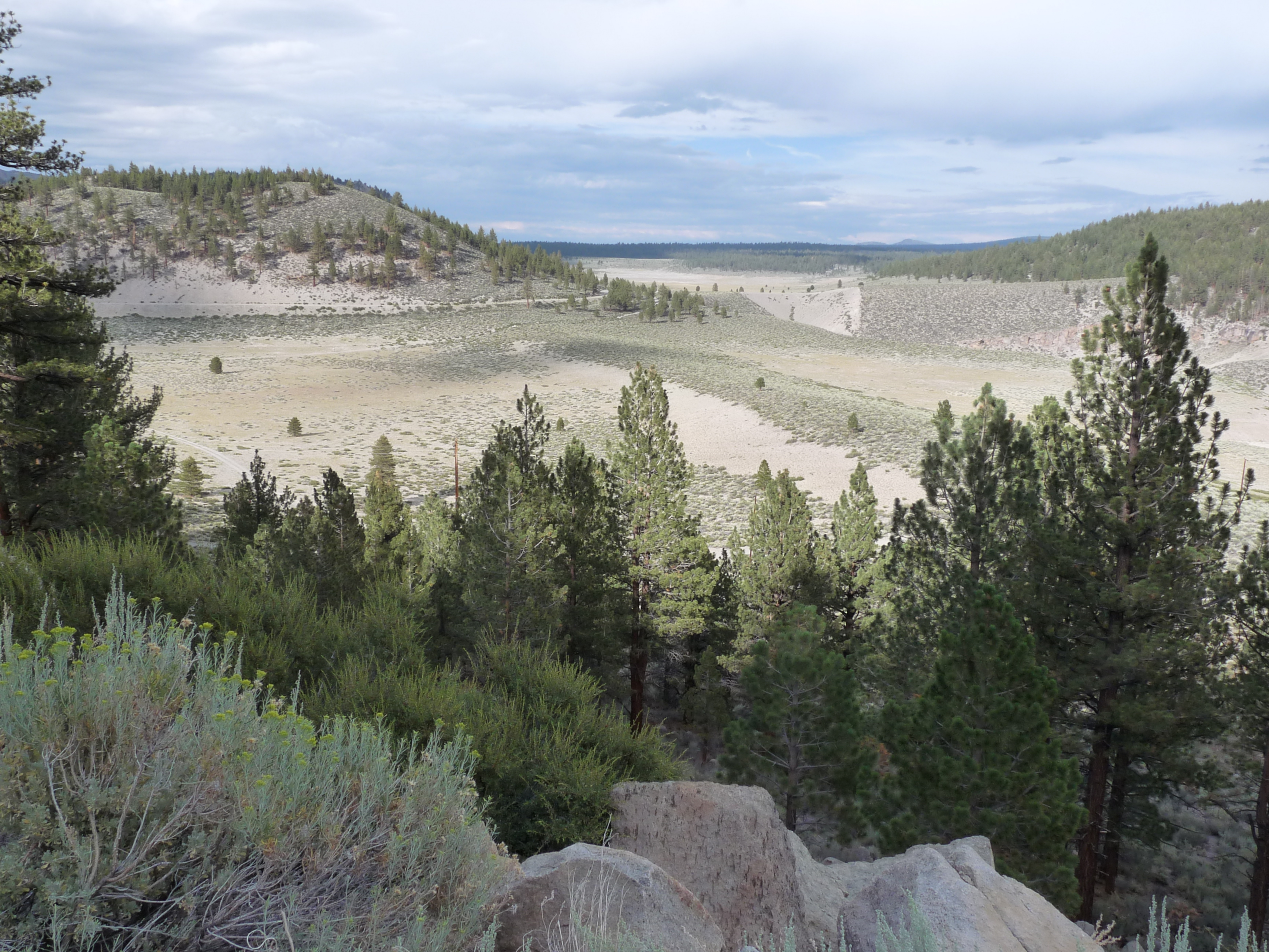
This could be it:
We gave up and headed back to Yosemite… back up Tioga Road and through the Tioga gate…
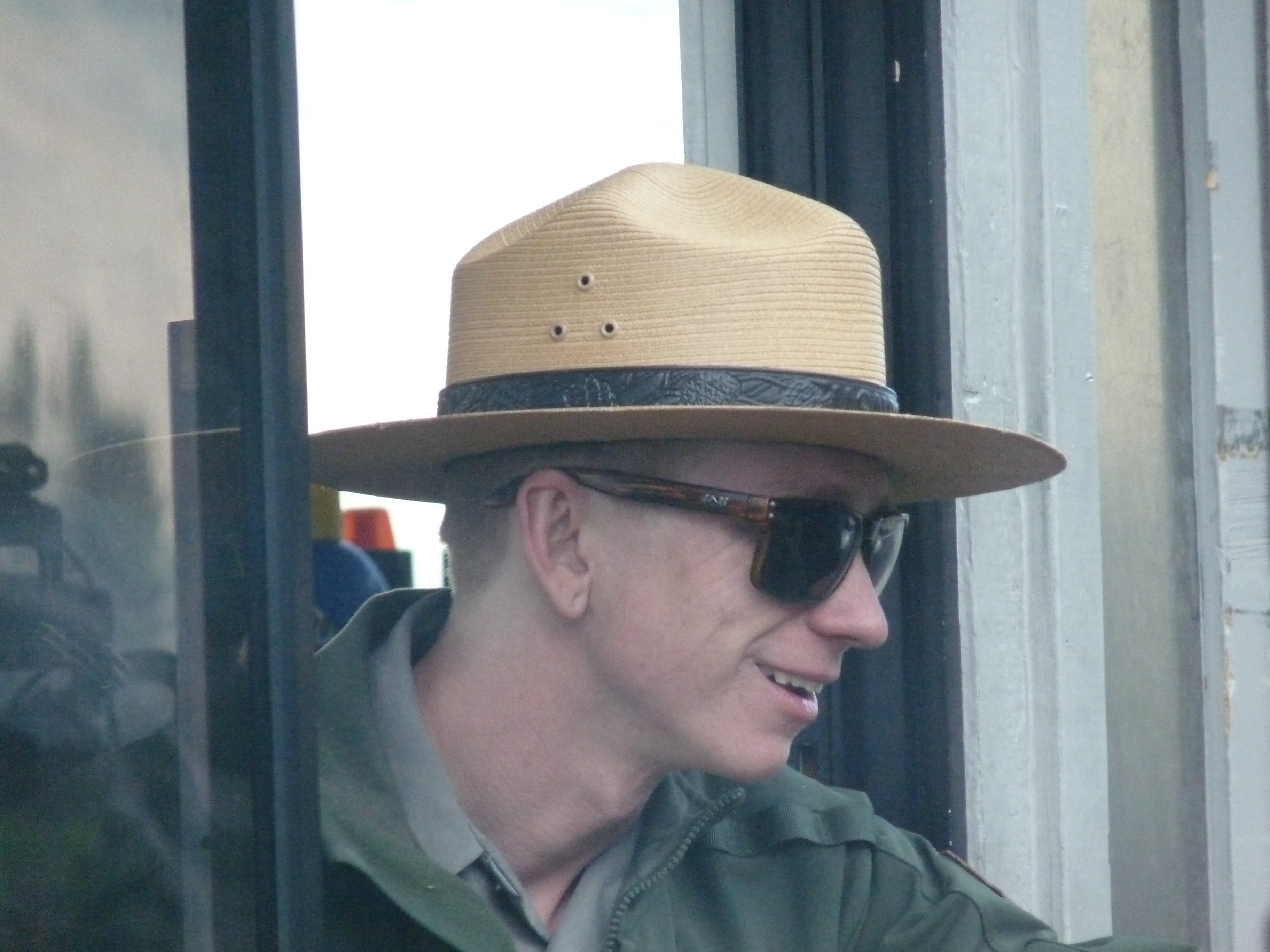
The rangers here are also nice:
And the views.. wonderful. Like coming home… this just inside the gate…

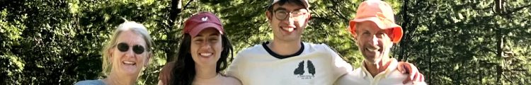
By the time we got back, the John Frames had arrived. They brought with them two bottles of celebration wine: This is their tenth year! Happy to celebrate!
