Almost Castle Peak
July 3, 2024
My watch tracked our hike today thusly:
From car to peak (ish):
3.58 miles
1731′ of gain
2:47 (a few trail-finding booboos, stops to snap pics, catch breath, etc)
From peak to car:
3.22 miles (I started it late and we made no booboos on the way down)
all down hill mostly
1:32
All Trails says it’s a 5.4 mile hike, roundtrip, and 1747′ of gain (from 7300ish to 9100ish). I’m confident in our mileage, so maybe they start the counting further up the trail (but a mile and a half??).
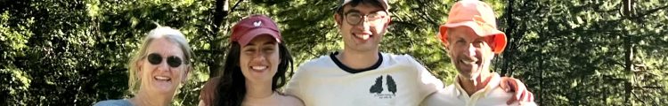
So.. a good day. I’m prouda us.
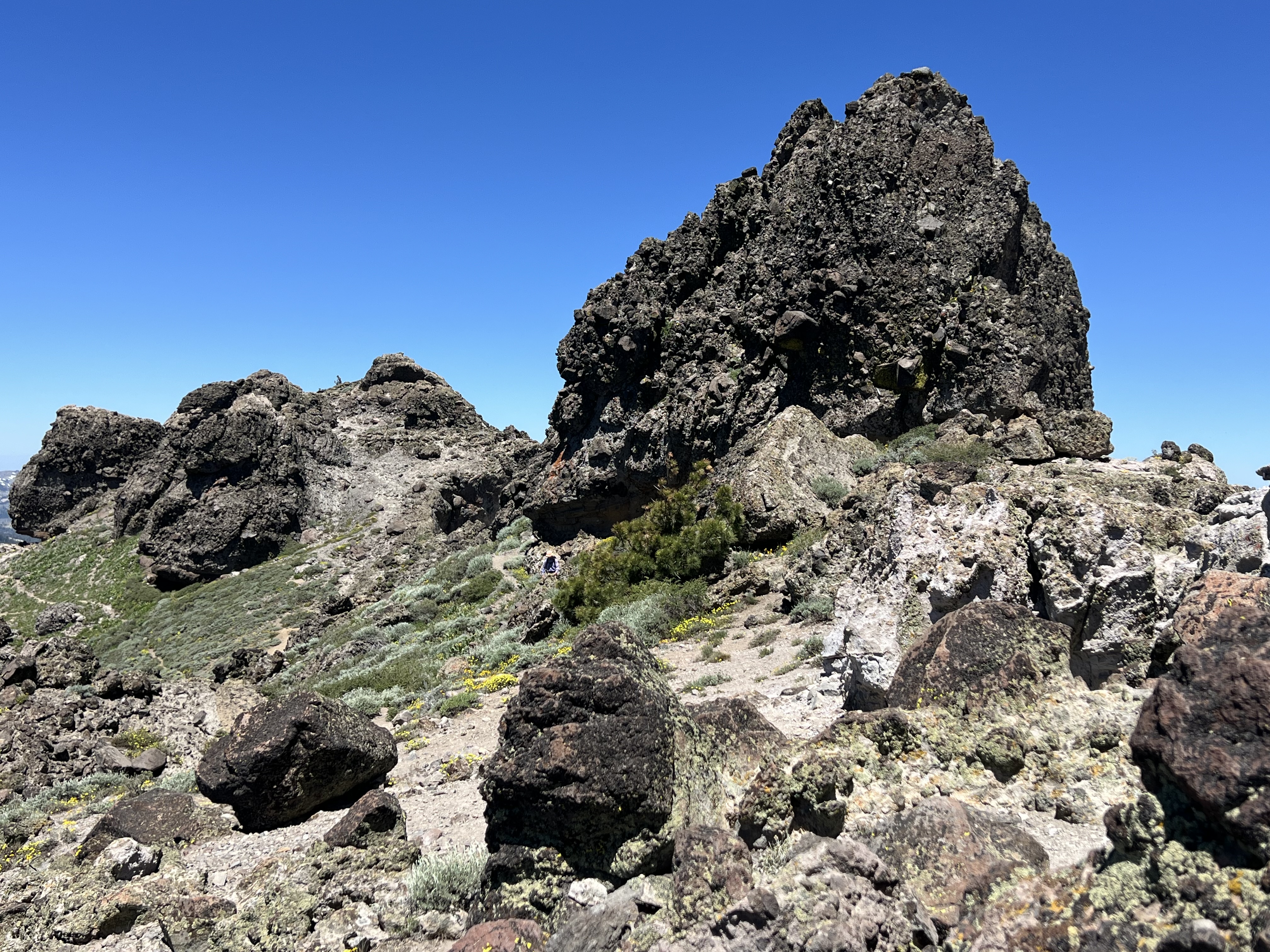
About 2/3 of a mile in, we got a good view of the peak (a ridge with 3 distinct turrets). I’m pointing to the highest of the three. That is our destination. We got to its base. Jim scrambled up about 50 feet or so then determined getting to the tippy top was too exposed and not a smart risk. Smart man. We ran into a young woman (trail runner, hiker, rock climber, obviously in great shape, who also forwent the peak for the same reasons).

At a junction (1.7 miles in), we had options.. continue on the PCT toward Peter Grubb Hut, Basin Peak, others or turn right and head to Castle Peak. There were other options as well.

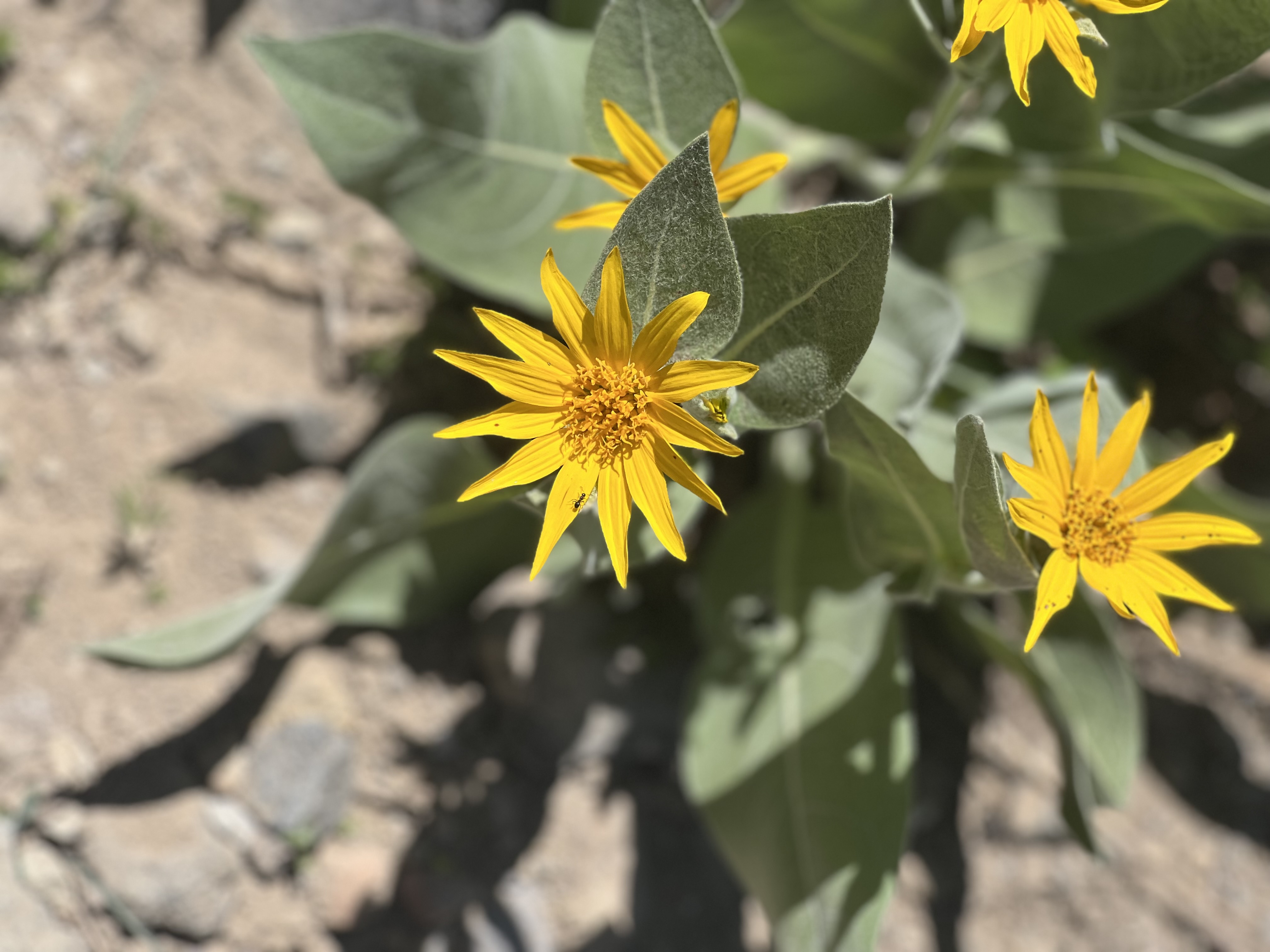
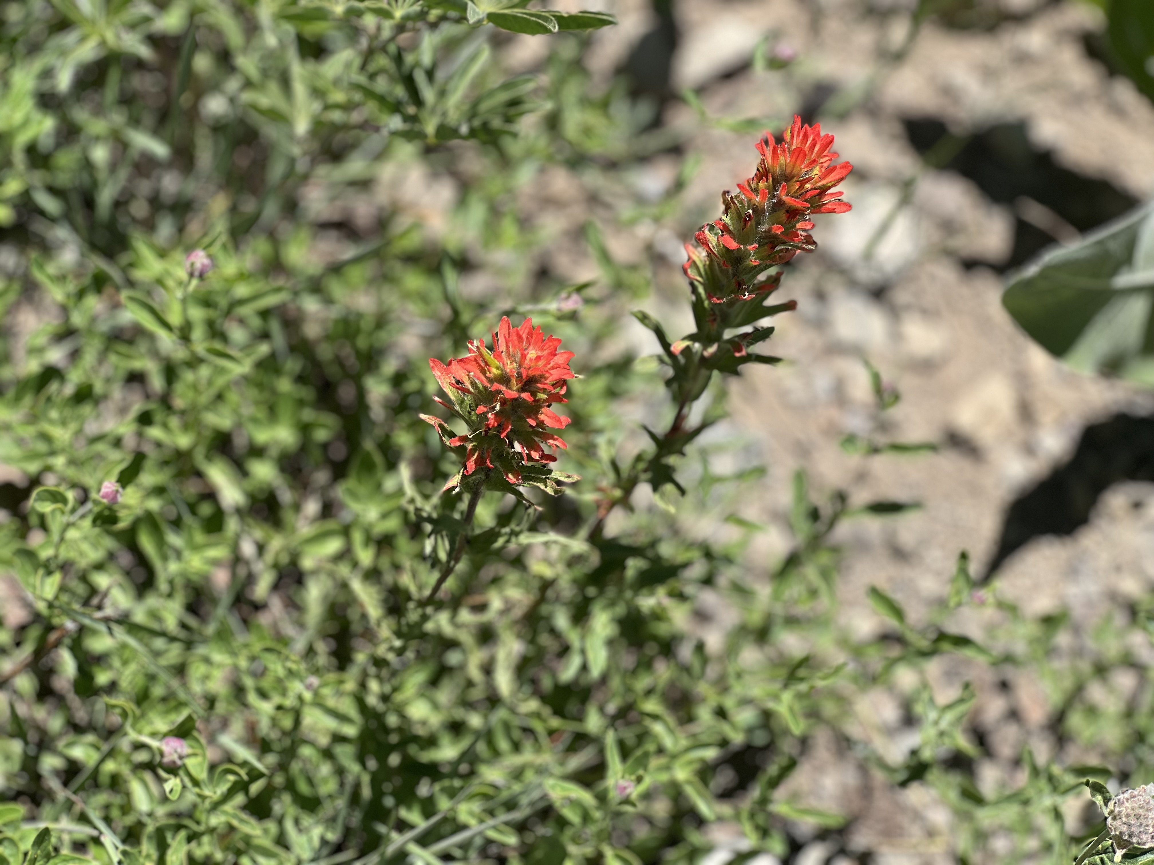
Lotta wildflowers on the trail:


The trail was steep in parts.. the road part and a little spur trail were steady up, at times as high as 20% grade, then along a ridge on the way to the Castle Peak ridge, it got steeper — some parts 25% — then on the actual ascent to Castle Peak it got really steep: I saw some readings as high as 43%.. lots of 30+%. I never think in terms of percentage grade, but All Trails is great that way!
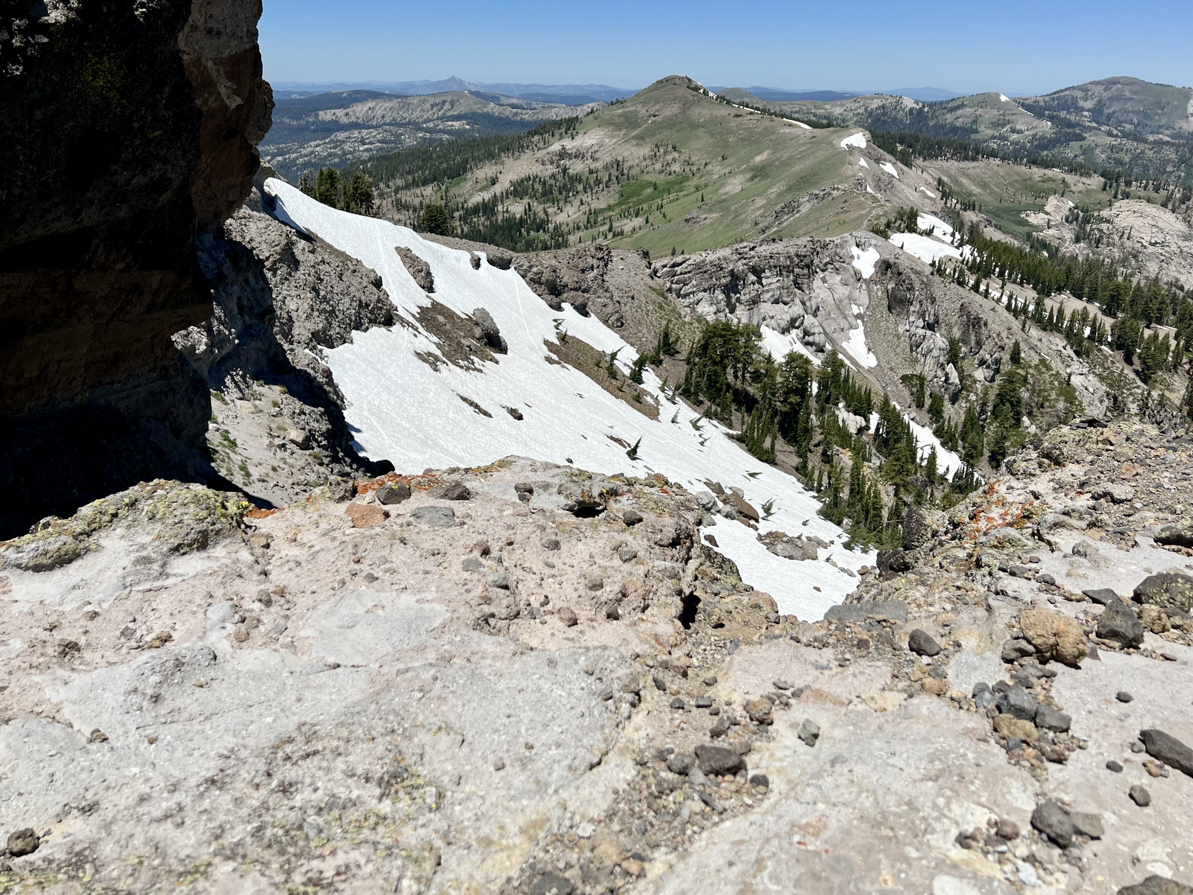
The three turrets were craggy. I believe I’m standing at the base of the middle turret, looking at the third one..we’ll head over there to check it out. This is looking southeast-ish.

I’m standing below #2 here, looking back at #1. I think that’s a human on #1. We were up there, then downclimbed to get over to #2. Now we’re headed to #3.
This is Jim trying to figure out which is the actual peak (#3): To the right of his head is the long ridge we hiked to get to the ridge we’re on now.

This is Jim climbing up #3, looking for a safe route to the top (didn’t find one).

Then he came down and we hiked back over by #2 and ate lunch. This was our view. That’s Basin Peak in the middle of the shot. Doing both Basin and Castle is a 10-mile loop.
This is down on that ridge (the one right of Jim’s head in a picture above), looking back at the Castle Peak ridge.

And that’s about it. Good workout. First hike at elevation this year.. that added (for me) some challenge!
